Urban & Developed

Geospatial Data

Urban impervious surfaces—defined as artificial materials through which water does not penetrate (e.g., concrete and asphalt roads, sidewalks, and buildings)—impact energetic, chemical, and hydrological fluxes, as well as biodiversity, economies, and even human health. Impervious surfaces are indicators of economic development and are the causes of increased surface and air temperatures, as well as hydroperiod variability, streamwater temperature, sediment load, and levels of heavy metals, nitrogen, phosphorous, and fecal coliform bacteria. The terraPulse urbanization data products map urban cover and change through spatio-temporal measurements of impervious surface cover. The data are based on high-resolution satellite estimates of building and pavement cover, interpolated to 30-meter, annual resolution using Landsat, Sentinel, and other data sources. Through the terraPulse Land Cover Dataset, the Impervious Surface Cover layer is also available as a binary measurement at 1-meter resolution, with historical coverage depending on availability of high-resolution imagery.

Urban & Developed

Urban & Developed

Figure 4. The terraView dashboard showing the 1-meter resolution terraPulse Land Cover Type map over College Park, Maryland. The dataset has six categories: building (red), pavement (gray), tree (dark green), grass/herb (light green), water (blue), and bare (orange).Property parcels are outlined in orange. Note the large patches of bare soil detected during commercial development of large site in the center of the map.

Figure 5. The terraView dashboard showing terraPulse Development Year dataset over the area around Dulles-Washington International Airport. The heatmap represents year of urban growth from 1985 (blue) to 2010 (red).

Geospatial Data

Urban impervious surfaces—defined as artificial materials through which water does not penetrate (e.g., concrete and asphalt roads, sidewalks, and buildings)—impact energetic, chemical, and hydrological fluxes, as well as biodiversity, economies, and even human health. Impervious surfaces are indicators of economic development and are the causes of increased surface and air temperatures, as well as hydroperiod variability, streamwater temperature, sediment load, and levels of heavy metals, nitrogen, phosphorous, and fecal coliform bacteria. The terraPulse urbanization data products map urban cover and change through spatio-temporal measurements of impervious surface cover. The data are based on high-resolution satellite estimates of building and pavement cover, interpolated to 30-meter, annual resolution using Landsat, Sentinel, and other data sources. Through the terraPulse Land Cover Dataset, the Impervious Surface Cover layer is also available as a binary measurement at 1-meter resolution, with historical coverage depending on availability of high-resolution imagery.

Standard Data Products

Case Studies

The terraPulse Land Cover Datasets maps buildings, pavement, trees, lawns, bare soil, and water at 1-meter resolution
The terraPulse Impervious Surface Dataset maps urban cover and change
The terraPulse Tree Canopy dataset maps urban forests and development

Case Studies

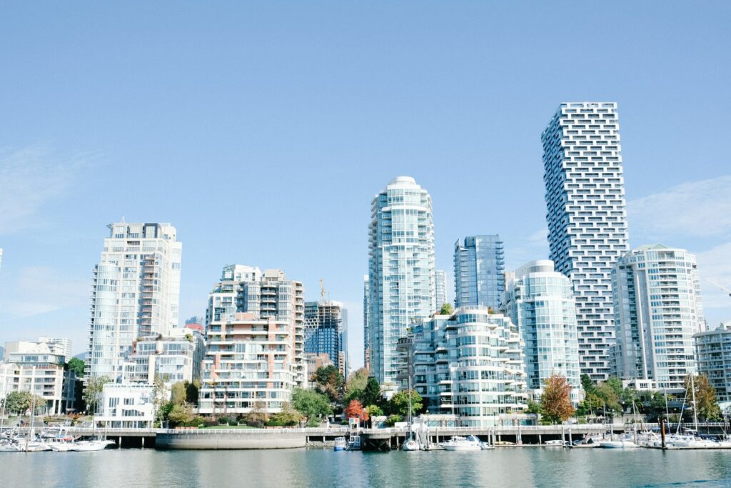
modern high rise
high rise buildings
urban city with
Unit:

percent of area

Scale:

Spatial: 30-m resolution, global extentextent
Temporal: annual resolution from 1984 – present

Source:

terraPulse

Latency:

previous year