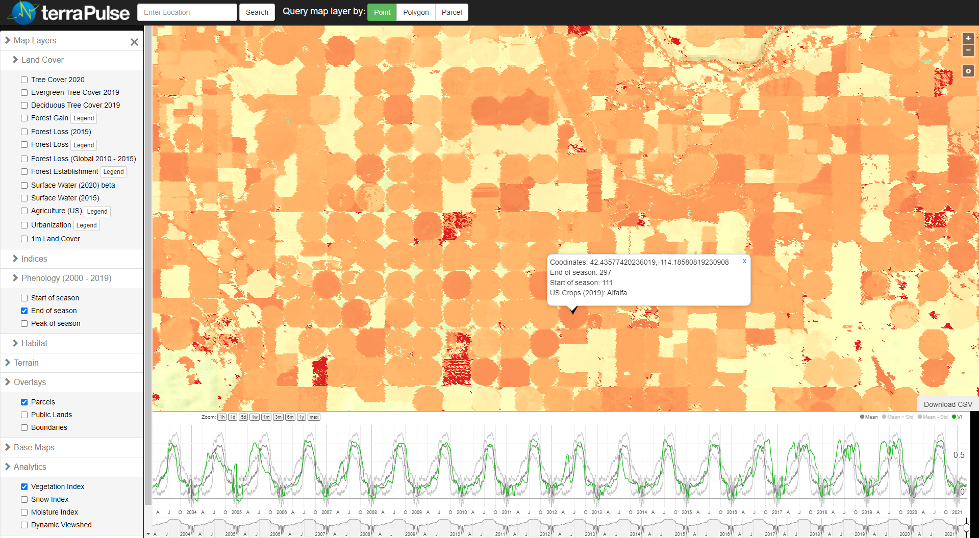
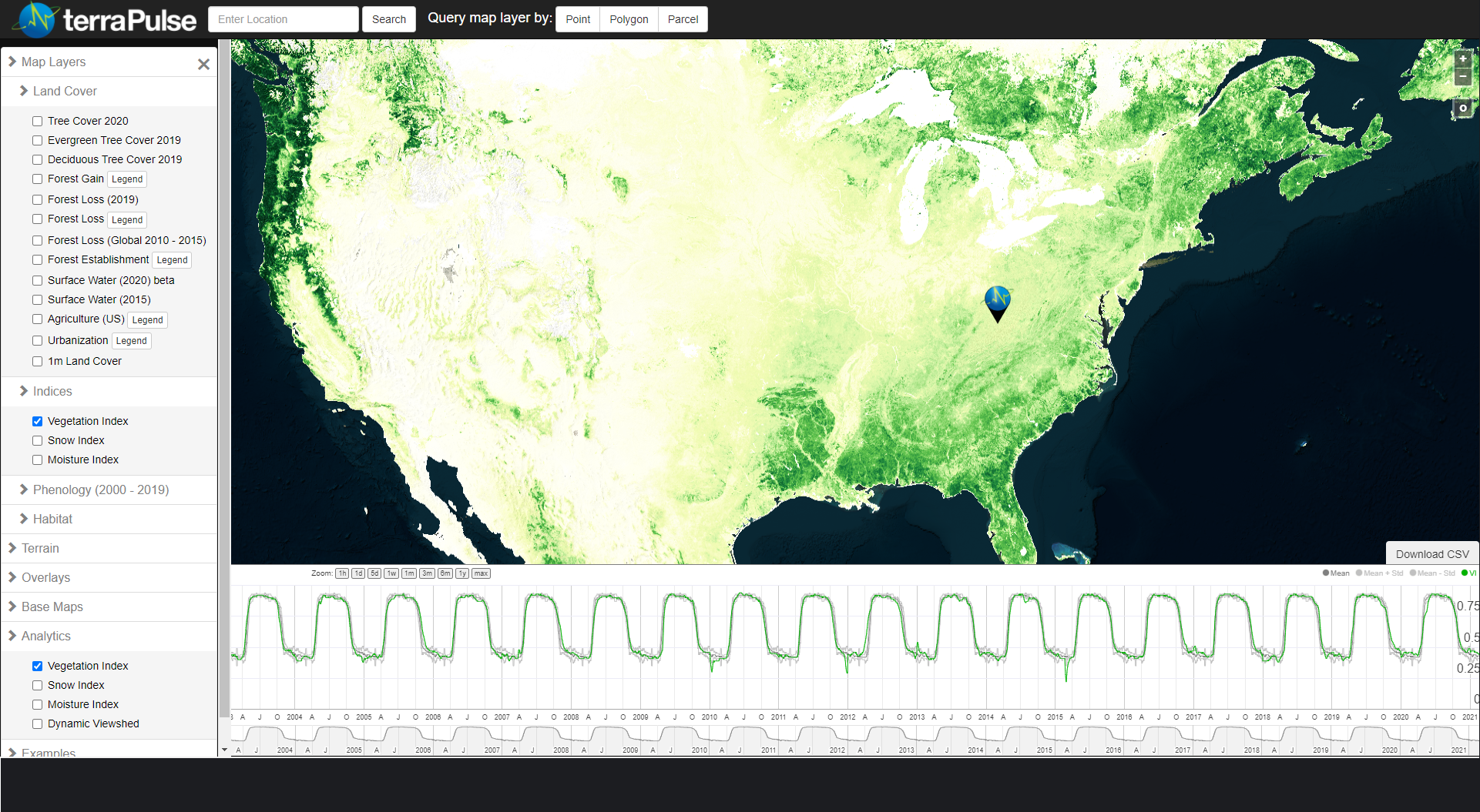
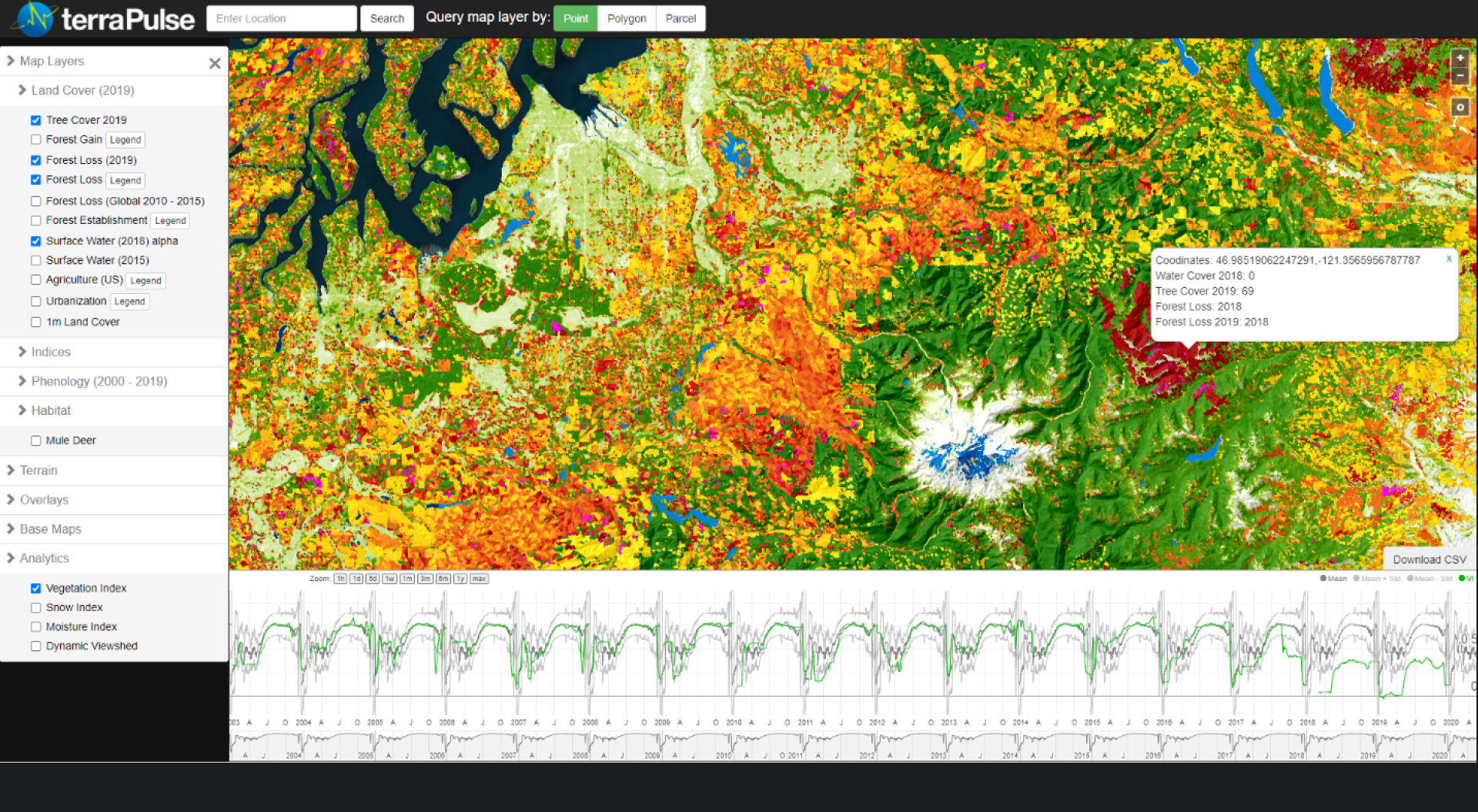
Indices & Seasonality
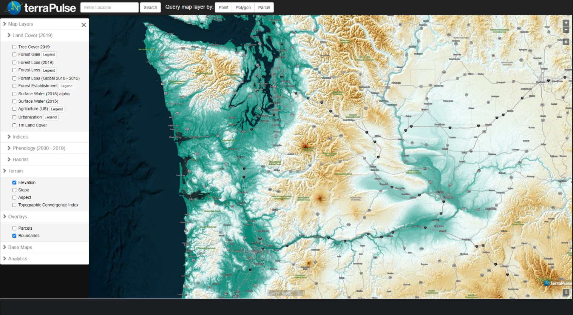
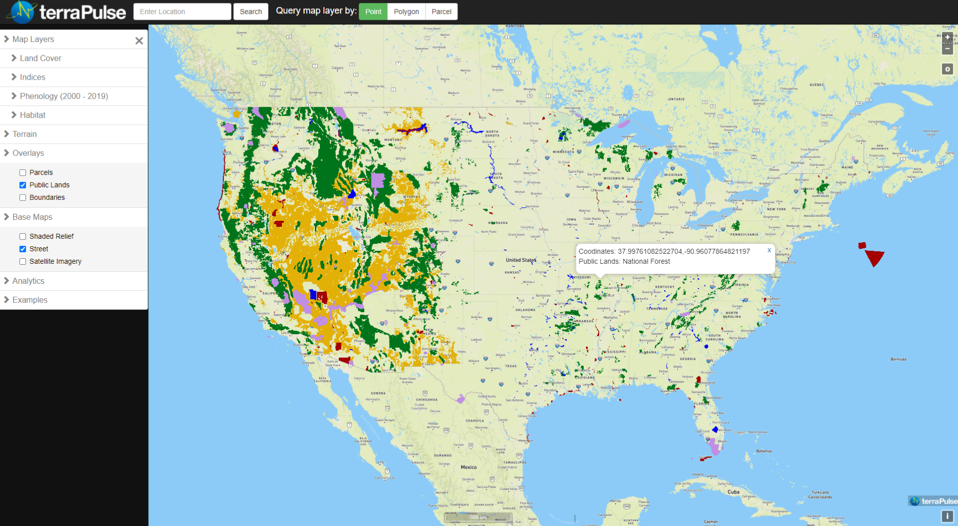
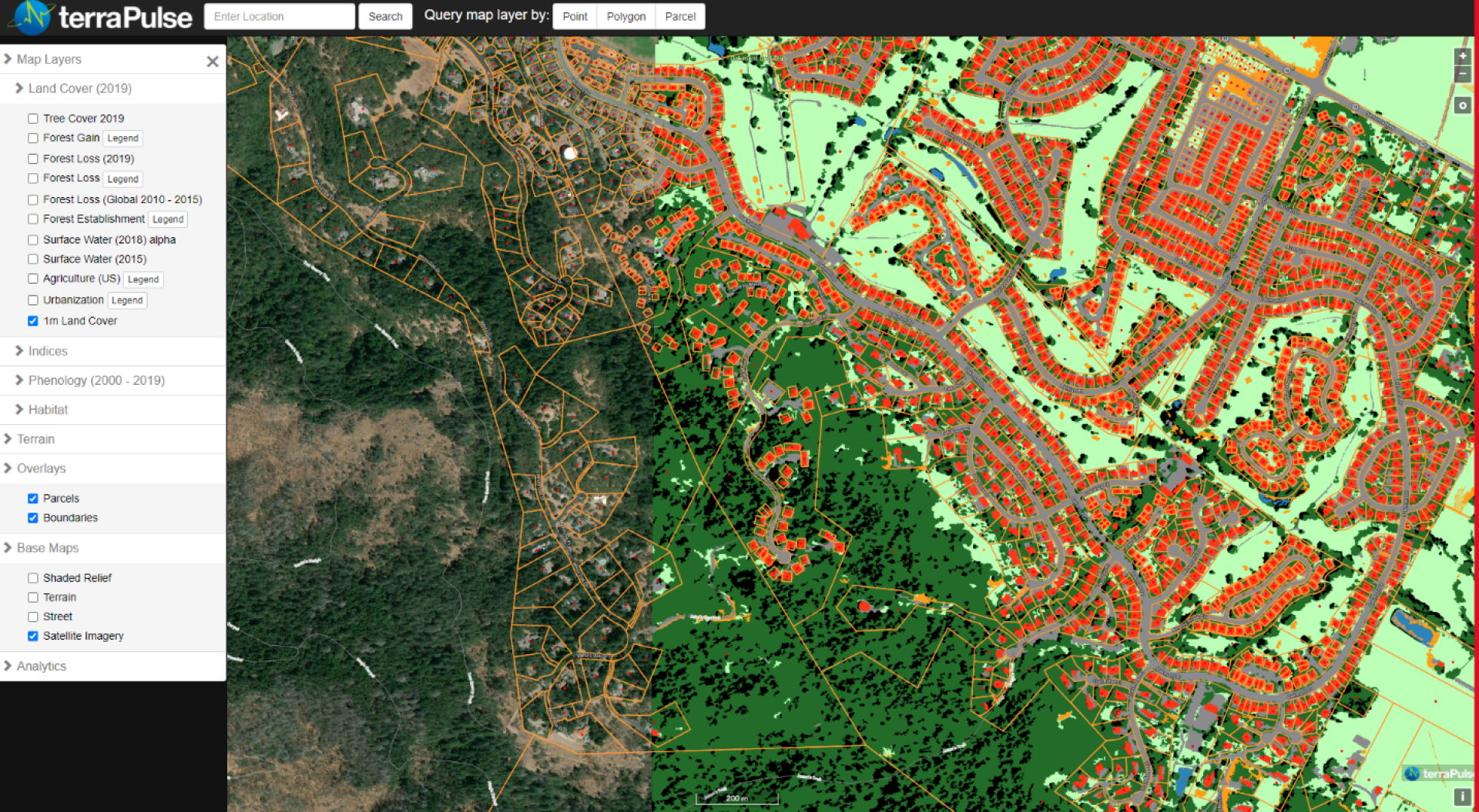
Geospatial Data
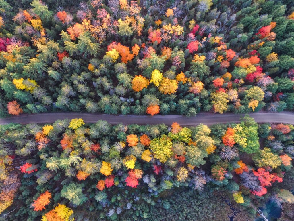
Crop-, range-, and wildland systems require frequently updated data for monitoring plant health and condition, surface moisture, and snow. TerraPulse produces a variety of satellite-based indices at up to 30-m, daily resolution, as well as longer-term summaries of historical conditions and their variability.