Ownership & Protection

Geospatial Data

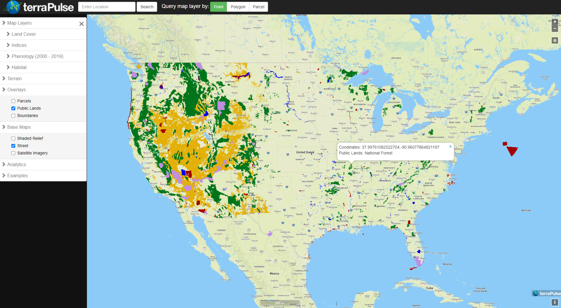
TerraPulse offers a custom public lands layer derived from international, national, state, and local datasets. This layer covers the continental US at a resolution of 30 meters and is available for visualization on terraView and download through terraServe. The data represent seven categories: National Parks; National Forests; Military Lands; BLM/BLR Lands; Tribal Lands; State Parks (including related state-managed protected areas); and State Forests/Wildlife Management Areas. Easements. Global public lands can be added at request.

Ownership & Protection

Ownership

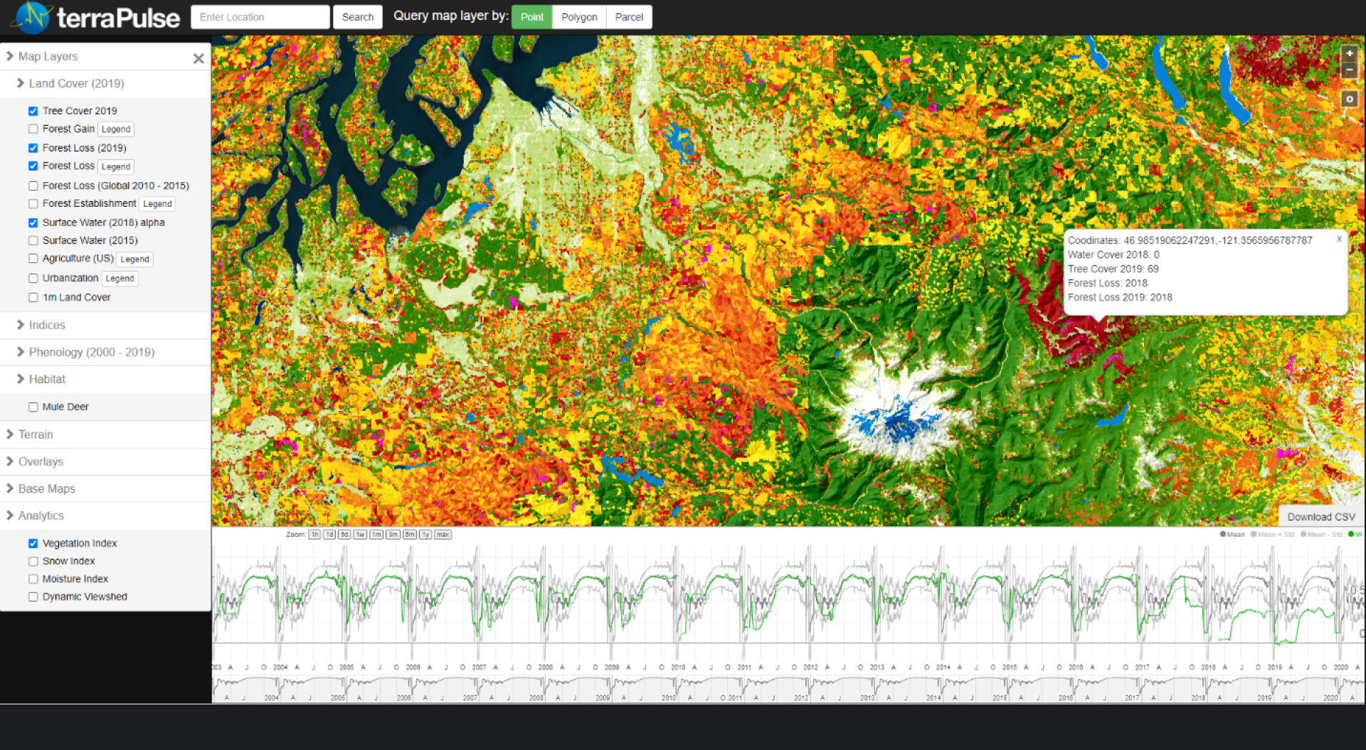
Figure 11. The terraView dashboard showing the terraPulse Public Lands map over the continental United States. The pinned location shows management by the US Forest Service.

Geospatial Data

TerraPulse offers a custom public lands layer derived from international, national, state, and local datasets. This layer covers the continental US at a resolution of 30 meters and is available for visualization on terraView and download through terraServe. The data represent seven categories: National Parks; National Forests; Military Lands; BLM/BLR Lands; Tribal Lands; State Parks (including related state-managed protected areas); and State Forests/Wildlife Management Areas. Easements. Global public lands can be added at request.
Standard Data Products

Case Studies

cultivated agricultural land
agricultural land sold
Unit:

percent of area

Scale:

Spatial: 30-m resolution, global extentextent
Temporal: annual resolution from 1984 – present

Source:

terraPulse

Latency:

previous year