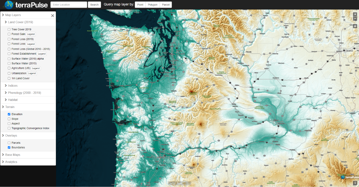
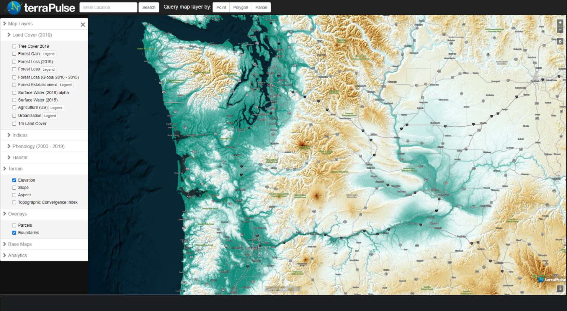
Terrain
Geospatial Data
The terraPulse terrain product suite is derived from gridded measurements of elevation captured by optical and radar sensors aboard a variety of Earth-orbiting satellites. These layers are static over time and aid interpretation of dynamic, satellite-based variables to inform decisions such as site selection for agricultural and forest uses, habitat improvement, and energy development.