Trusted by


Trusted by


Monitor geographic variables to understand land and inform strategy
Plan With Confidence
Leverage our decades of experience and NASA-proven algorithms to make data-driven decisions about land use.
Expand Your Scope
Assess land values and uses before turning to labor-intensive, manual evaluation, saving time and resources.
Know The Land
Deepen your understanding of land characteristics and the drivers of land value while monitoring existing assets.
Discover New Uses
There’s more to your land than you might think. See land in new ways to uncover additional uses and opportunities.
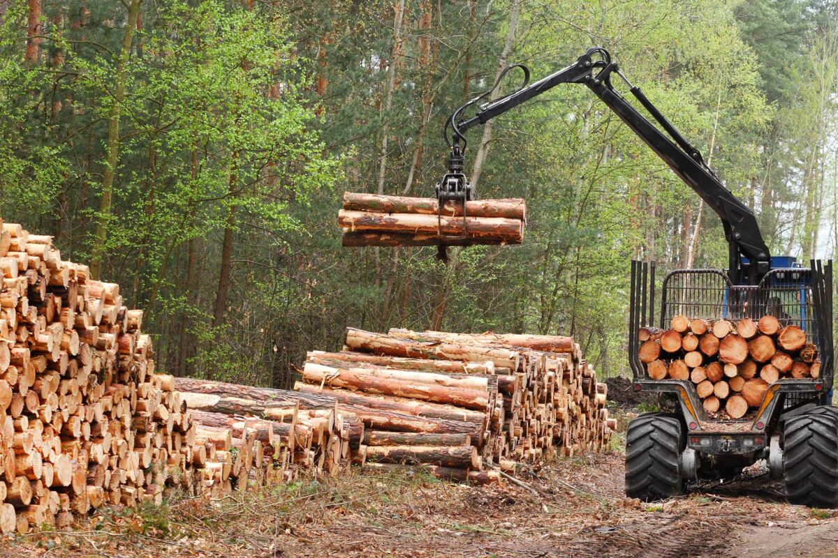
Forestry & Carbon
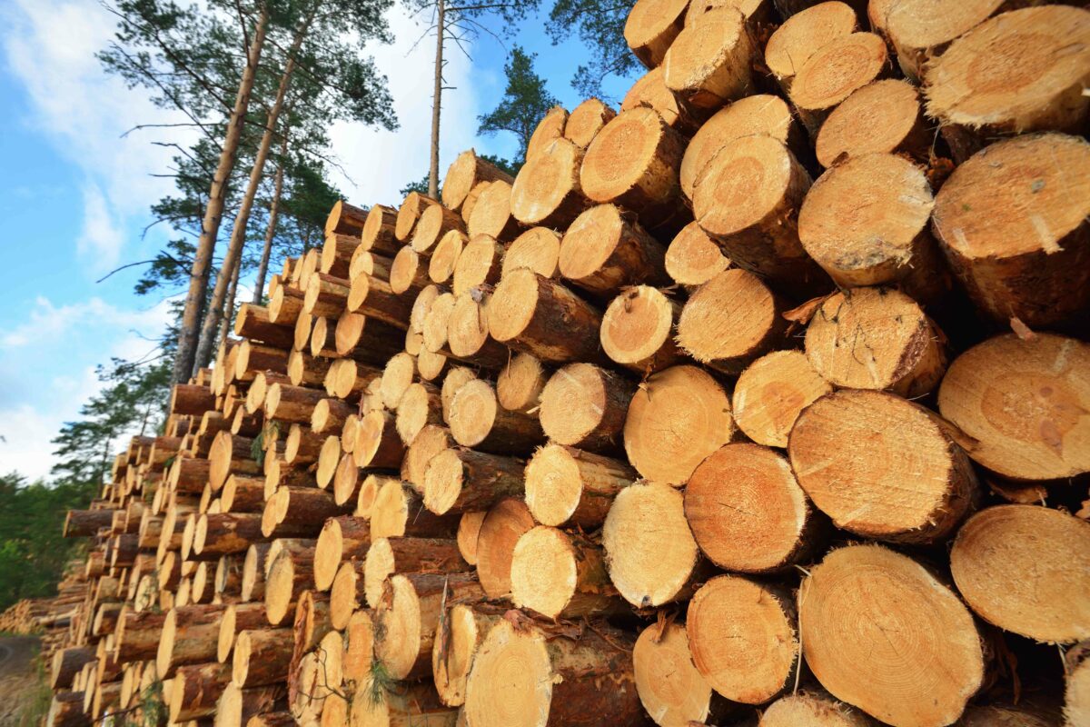
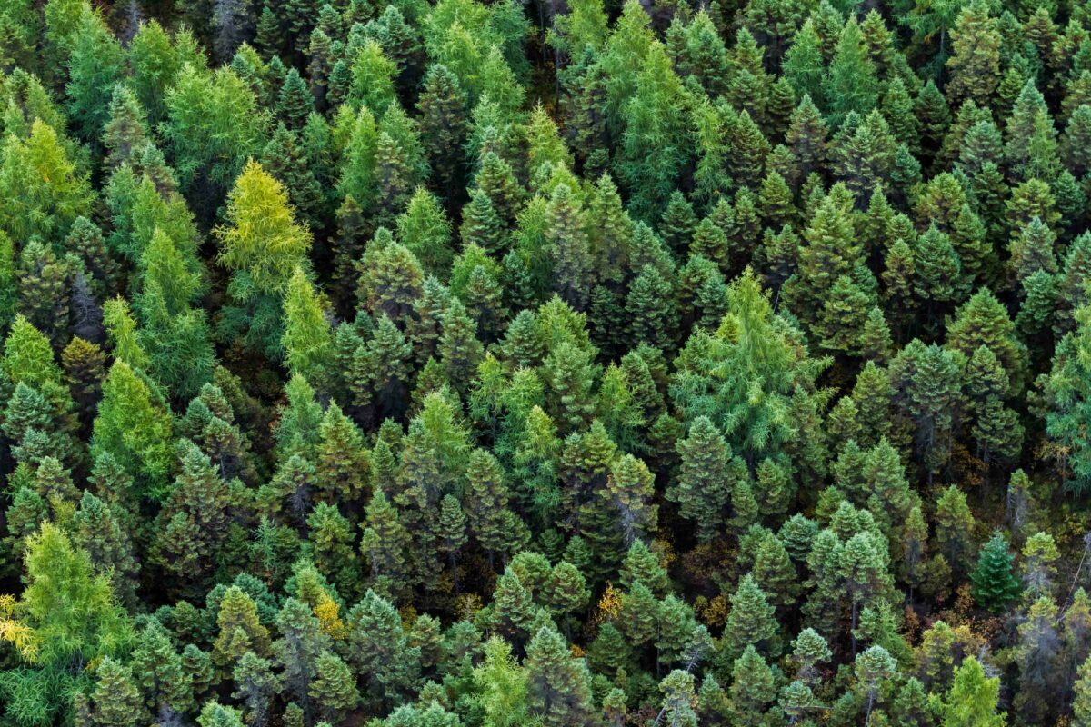
Responsible forest management relies on understanding current and historic values of stand characteristics over large areas. Using data from 1984 to present, our maps of tree-canopy cover & type, stand age, and disturbance history help forest managers:
- Establish reference and activity levels for carbon markets
- Monitor thinning, degradation, harvest, and growth
- Predict yield and site index
- Estimate regional and mill-specific wood baskets
- Mitigate risks from fire and flood
- Assess timberland value for wildlife and livestock
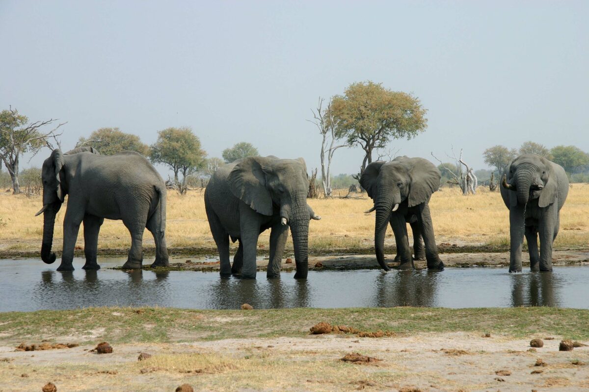
Biodiversity & Habitat
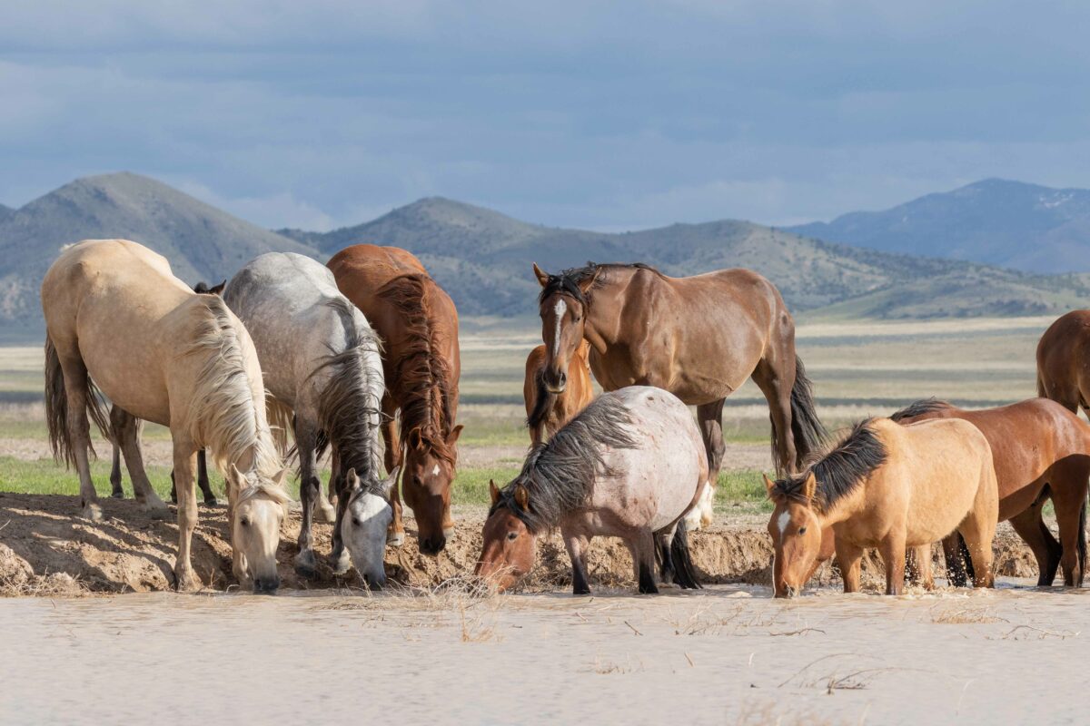
Diverse, resilient landscapes support biodiversity and provide recreation opportunities for an increasingly urban population. Improving the health and connectivity of ecosystems across public and private land requires landscape-scale information. Satellite based maps of wildlife habitat and corridors & terrain enable:
- Identification and procurement of conservation priorities
- Analysis of ecological potential
- Monitoring degradation and encroachment into protected habitat
- Tracking and reporting restoration & recovery
- Assessment of recreation value
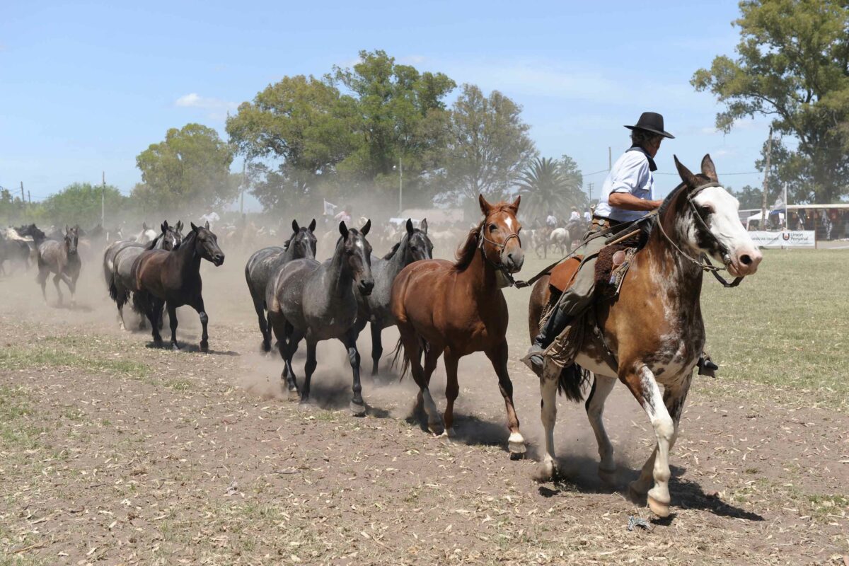
Crop & Rangeland
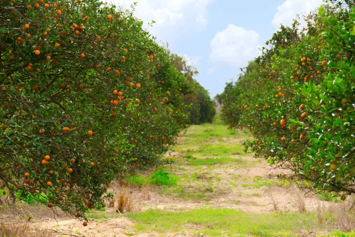
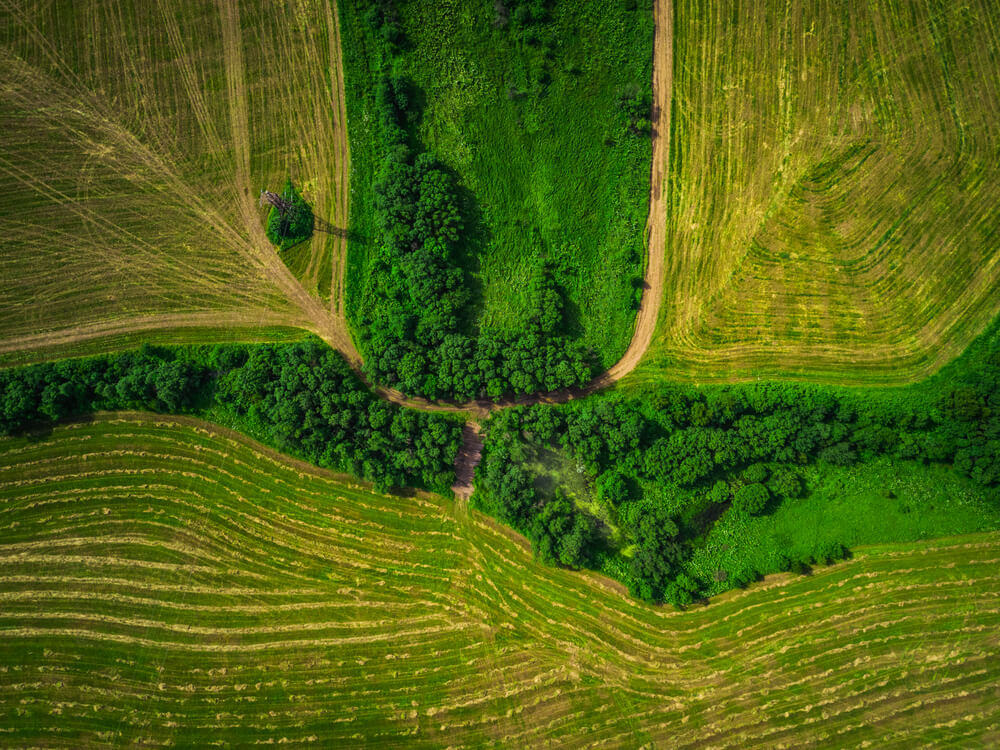
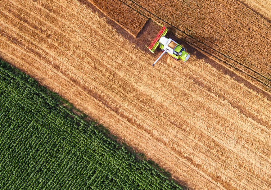
Ensuring food security for 8 billion people requires constant innovation andadaptation to climate, economic, and technological changes. Our crop- and rangeland data sets provide within-field resolution and are updated daily to enable precision agriculture at the scale and efficiency needed by coordinate multiple uses of large landscapes.
Whether you need the resolution to manage a family farm or the long-term, global consistency to predict yields, map droughts, and insure harvests, we provide:
- Satellite vegetation indices
- Summaries of recent to long-term norms and variability
- Maps of current and historical crop type
- Indices of plant stress and drought severity
Agriculture
Ensuring food security for 7
billion people requires adaptation to climate,
economic, and technological changes. Our cropland
data sets are updated daily and provide within-field
resolution to enable precision agriculture,
monitoring, prediction, and
investment.
Whether you need the resolution
to manage a family farm or long-term, global
consistency for agribusiness and crop insurance, we
provide:
- Satellite vegetation indices
- Mapped summaries of recent to long-term norms and variability
- Crop type and productivity
- Plant stress and drought severity
Brokerage & Investment
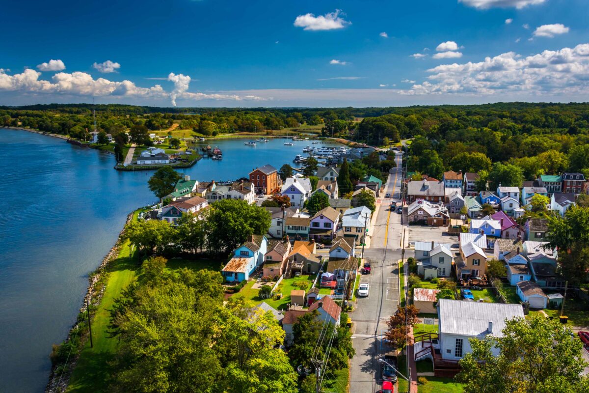
Increase buyer & seller confidence to accelerate sales, find strategic investments, and manage land portfolios.
- BROKERS
- Attach land characteristics to listings and enable clients to search based on maps of resource values.
- BUYERS
- Make smart purchases by comparing and evaluating parcels based on your unique requirements.
- OWNERS
- Monitor properties remotely and manage your holdings based on the metrics that matter.
- SELLERS
- Determine the land value and get the best price for your asset based on data-driven comparables.
Nonprofit & Government
Plan and communicate land-use decisions while saving time and focusing on what’s most important.
- STREAMLINE APPLICATIONS
- Evaluate assistance, credit, and easement applications based on consistent, reliable data.
- PRIORITIZE IMPACTS
- Allocate valuable resources efficiently with spatial assessments of site suitability and potential.
- SIMPLIFY MONITORING
- Track treatment and compliance with the scale and efficiency of Earth-orbiting satellites.
- INFORM STAKEHOLDERS
- Communicate the benefits of land-use decisions across interests with the transparency of online maps.

Science & Education
Analysis-ready datasets to accelerate innovation, learning, and discovery.
- Explore current and historical data
- Create
- Discover
- Share results with peers
Science & Education
Analysis-ready datasets to accelerate innovation, learning, and discovery.
- Explore current and historical data
- Create
- Discover
- Share results with peers

