Forest Cover & Change
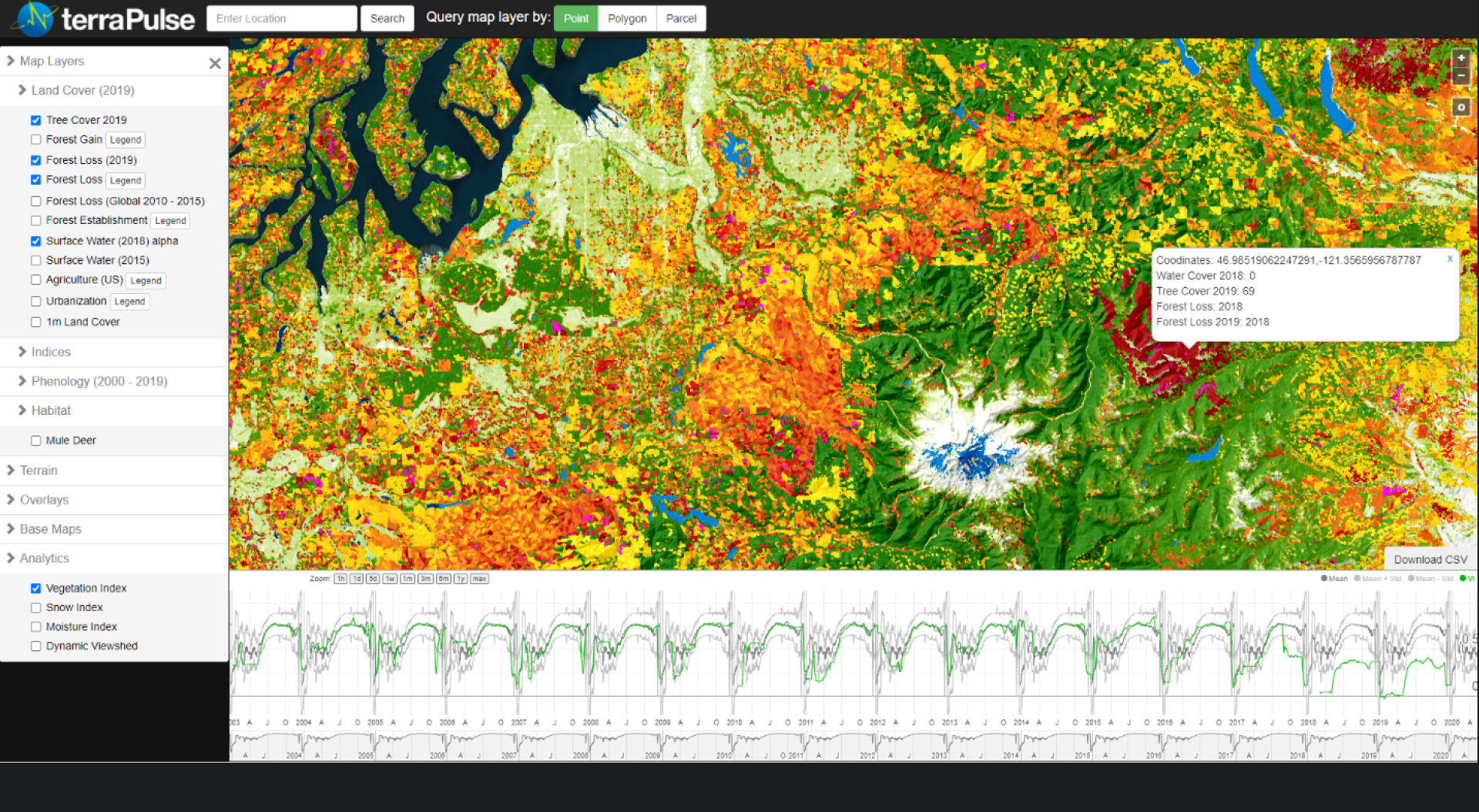
Tree cover, the primary measurable attribute of forests, correlates to timber volume, habitat quality, and movement of wildlife, as well as residential property value and other forestland values. Mapping forests as percentages of tree cover over time enables informed detection and monitoring of clearing, harvest, degradation, and growth, and it enables monitoring and retrieval of site-specific histories of forest change. The terraPulse forest product suite is based on time-serial maps estimating the percentage of horizontal area in each pixel covered by woody vegetation taller than 3 to 5 meters from current and historical satellite imagery. The dataset is available from 1984 to 2020 at 30-meter resolution for any region resolution, as well as derived categories of forest cover and change detection. Through the terraPulse Land Cover Dataset, the tree-cover layer is also available as a binary measurement at 1-meter resolution, with historical coverage depending on the availability of high-resolution imagery.

