Land Cover & Change
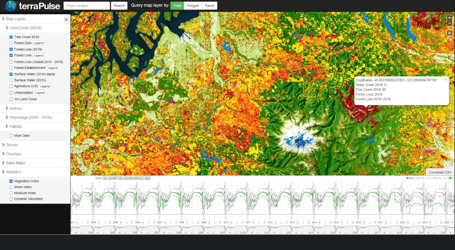
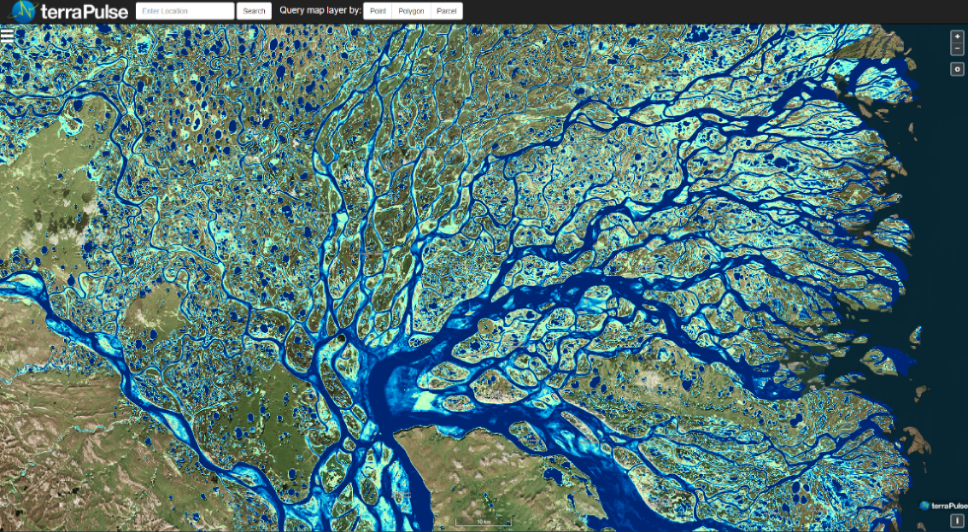
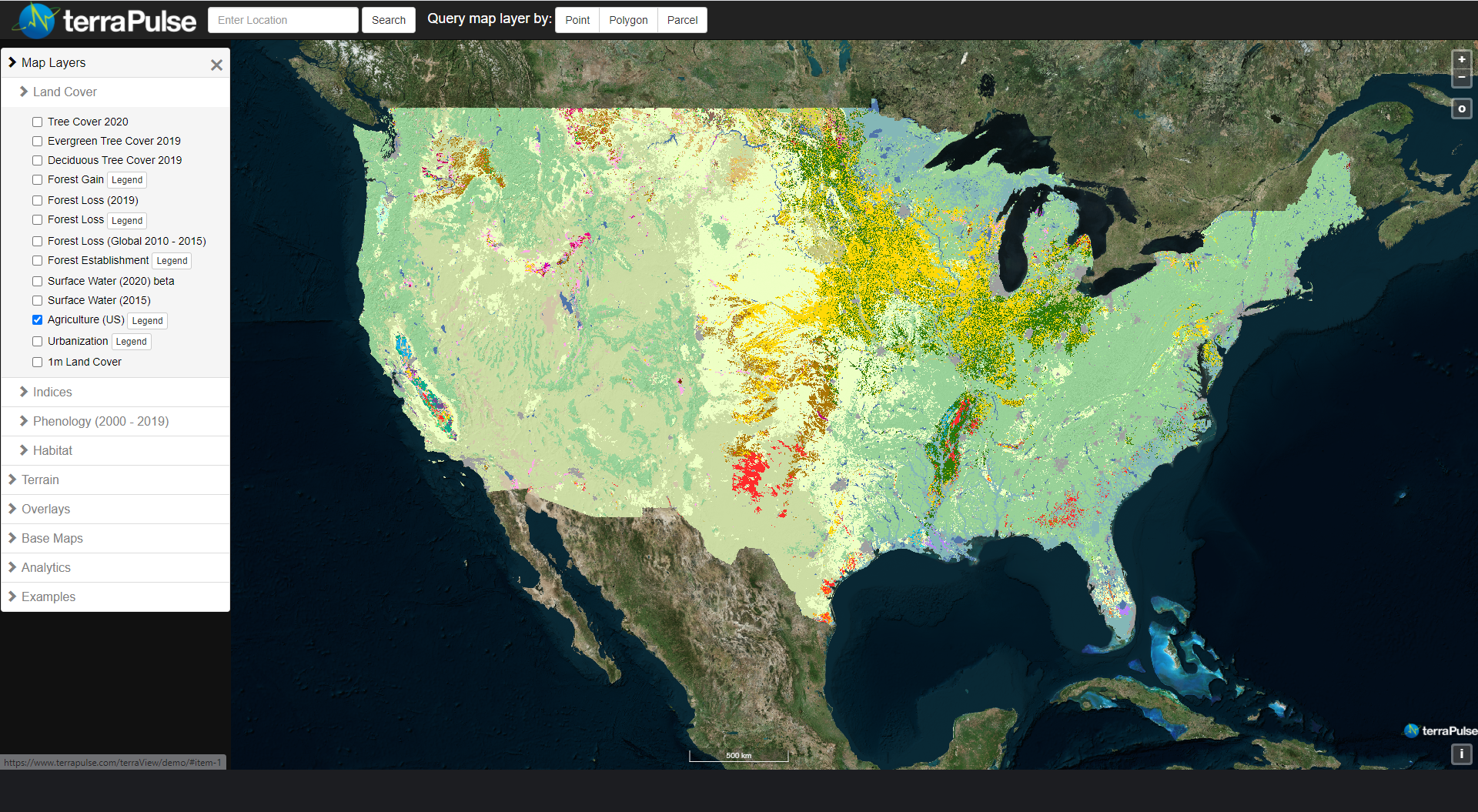
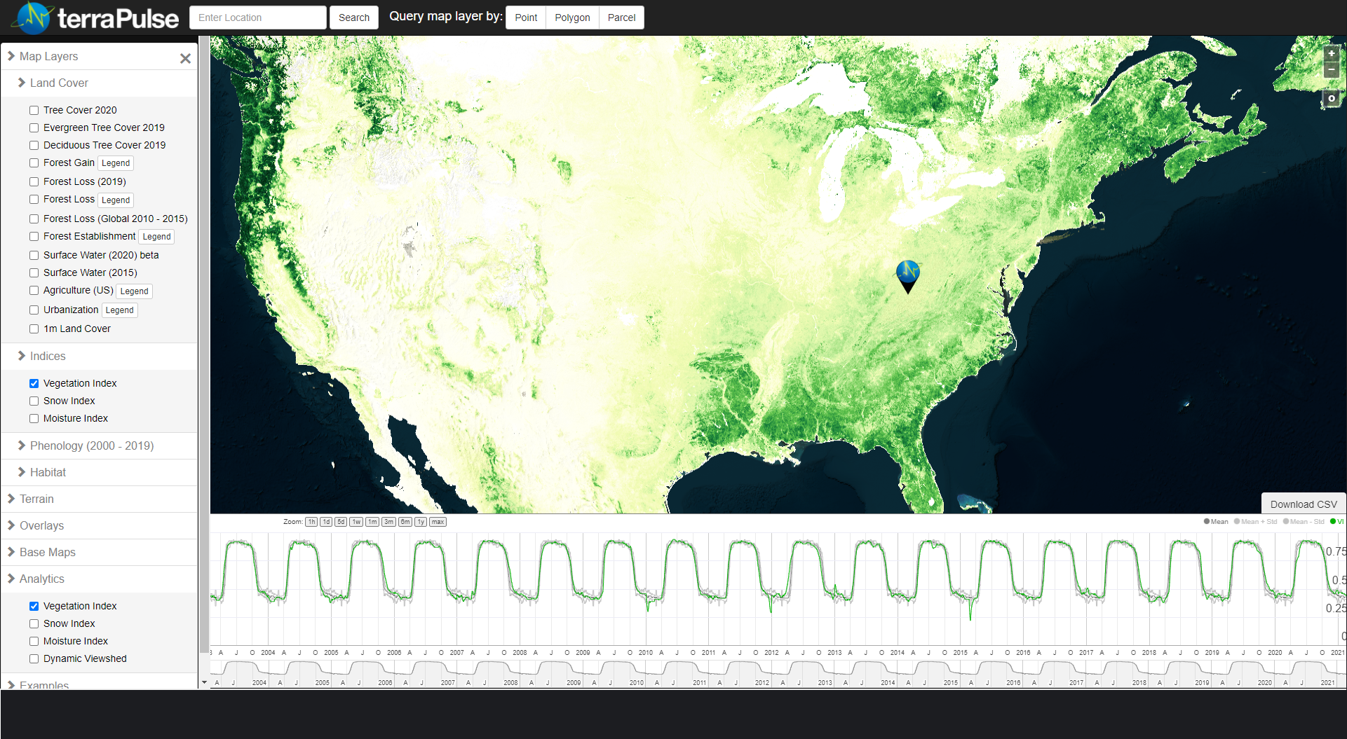
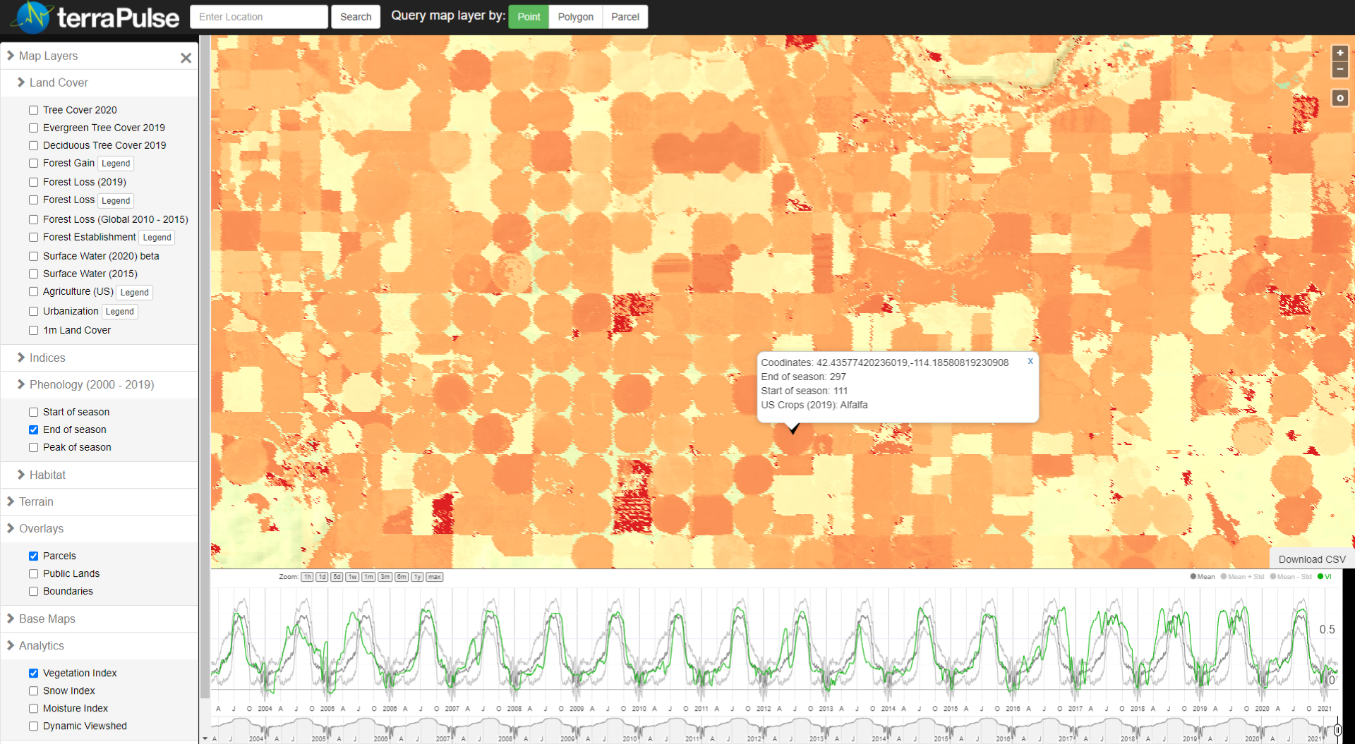
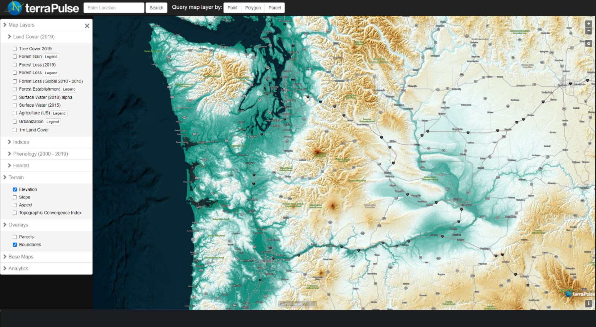
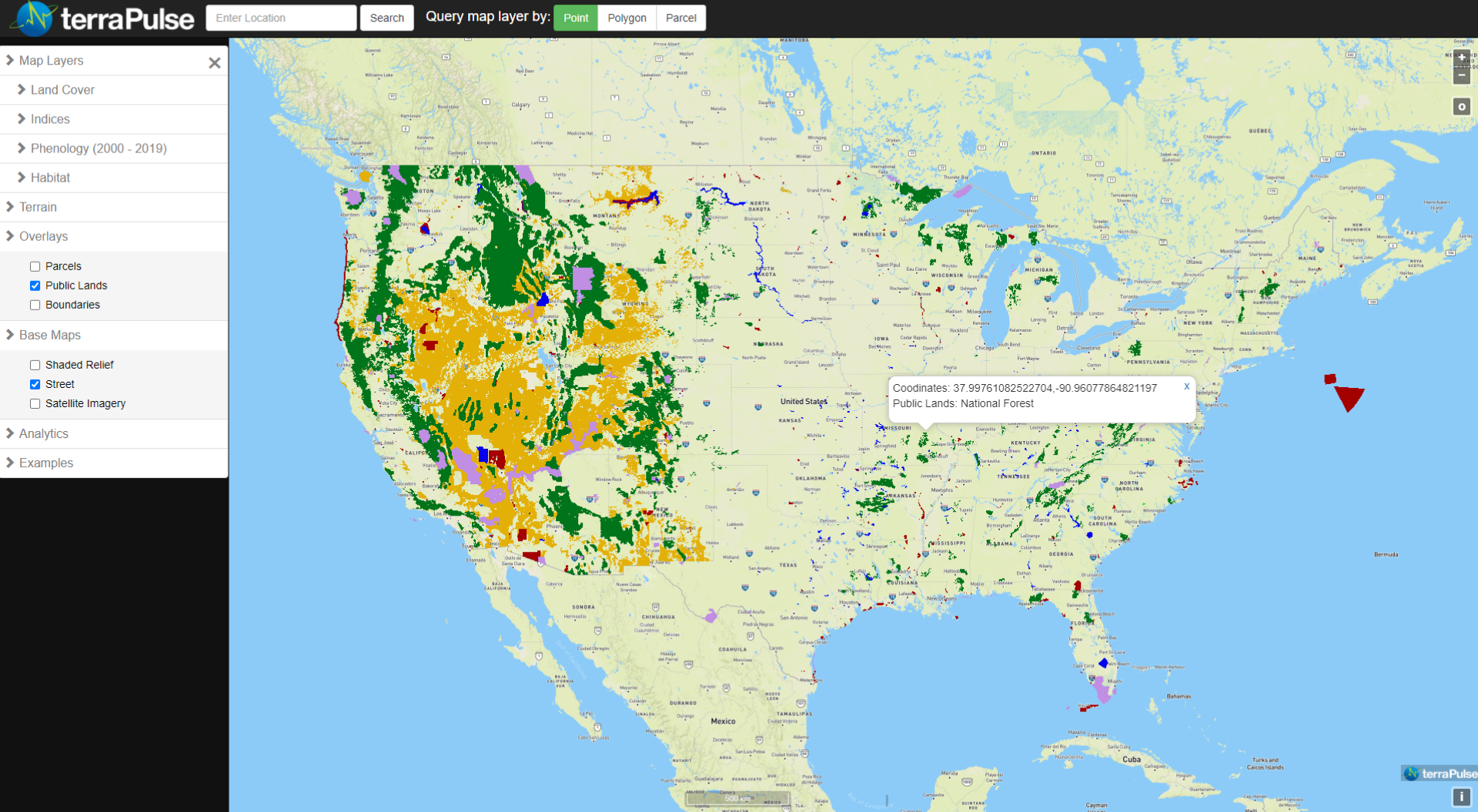
TerraPulse Land Cover & Change data represent the state and changes of ecosystems as percentages of different land cover types, including tree, building, pavement, grass/herb, bare, and water. At the highest (~1-meter) resolution, these types are represented as single categories. At coarser resolutions (e.g., 10-meter or 30-meter pixels) and across larger areas (e.g., property parcels, regions, or countries), cover is summarized as areas or areal percentages. Changes over time are detected using both the estimate and the uncertainty of the value in each pixel.


