Data-Driven Insights About Earth From Space

Inform your science, business, and land management decisions with maps and data drawn from long-term, global satellite imagery.

Trusted by

Trusted by

Case Studies

Lorem ipsum dolor sit amet, consectetur adipiscing elit. Sed gravida mi non mi ornare auctor. Quisque eget rutrum risus, eget pulvinar erat. Mauris eget metus eu purus aliquam imperdiet vitae blandit metus. Morbi ac lectus quis odio vestibulum ultrices et non tellus. In hac habitasse platea dictumst. Ut faucibus malesuada mauris, sed sodales odio dapibus non.

stacks of freshly
Enviva Biomass uses terraPulse to verify reforestation in its supply chain
mountain lake in
The Chinese Academy of Sciences uses terraPulse to study shrinking water bodies across central Asia
floridan orange trees
Coldwell Banker uses terraPulse to monitor loss of Florida’s orange groves
sunset in community
The terraPulse Land Cover Datasets maps buildings, pavement, trees, lawns, bare soil, and water at 1-meter resolution
maize sapling planted
The terraPulse NDVI dataset maps vegetation productivity at up to 10-meter, weekly resolution
rocky mountain elk
Idaho Department of Fish & Game uses terraPulse to predict deer and elk populations
outskirts of chesapeake
Coldwell Banker uses terraPulse to broker land development
wild elephants in
National Geographic uses terraPulse to protect the headwaters of the Okavango River.
boreal forest in
NASA scientists use terraPulse to study the boreal forest

Case Studies

TerraPulse is informing the land-use economy from the private landowner to the United Nations.

Relied upon by individual timberland owners as well as agencies as large as NASA, World Bank, the US Forest Service and the US Bureau of Land Management, our algorithms apply decades of expertise in satellite image analysis to automate the provision of actionable, near real-time, and cost-effective decision-making tools to serve the land and natural resource economies.

Case Studies

Lorem ipsum dolor sit amet, consectetur adipiscing elit. Sed gravida mi non mi ornare auctor. Quisque eget rutrum risus, eget pulvinar erat. Mauris eget metus eu purus aliquam imperdiet vitae blandit metus. Morbi ac lectus quis odio vestibulum ultrices et non tellus. In hac habitasse platea dictumst. Ut faucibus malesuada mauris, sed sodales odio dapibus non. Lorem ipsum dolor sit amet, consectetur adipiscing elit. Sed gravida mi non mi ornare auctor. Quisque eget rutrum risus, eget pulvinar erat. Mauris eget metus eu purus aliquam imperdiet vitae blandit metus. Morbi ac lectus quis odio vestibulum ultrices et non tellus. In hac habitasse platea dictumst. Ut faucibus malesuada mauris, sed sodales odio dapibus non.

Products

Solutions

Forestry & Carbon

Forestry & Carbon

Timely, accurate, and consistent data for the stewardship of timber, pulpwood, and carbon
Read More

Biodiversity & Habitat

Biodiversity & Habitat

Dynamic habitat maps and data for the conservation and management of wild species, populations, and landscapes
Read More

Crop & Rangeland

Crop & Rangeland

Current and historical records of plant cover, type, and productivity for precision agriculture and adaptive range management
Read More

Brokerage & Investment

Brokerage & Investment

Interactive maps and printable property reports to find, appraise, and transact properties quickly
Read More

Non-Profit & Government

Non-Profit & Government

Reliable data streams for managers and stakeholders to conserve, monitor, and communicate ecosystem health
Read More

Science & Education

Science & Education

Peer-reviewed datasets and cloud-based teaching platform to accelerate discovery in the lab and the classroom
Read More
about

About terraPulse

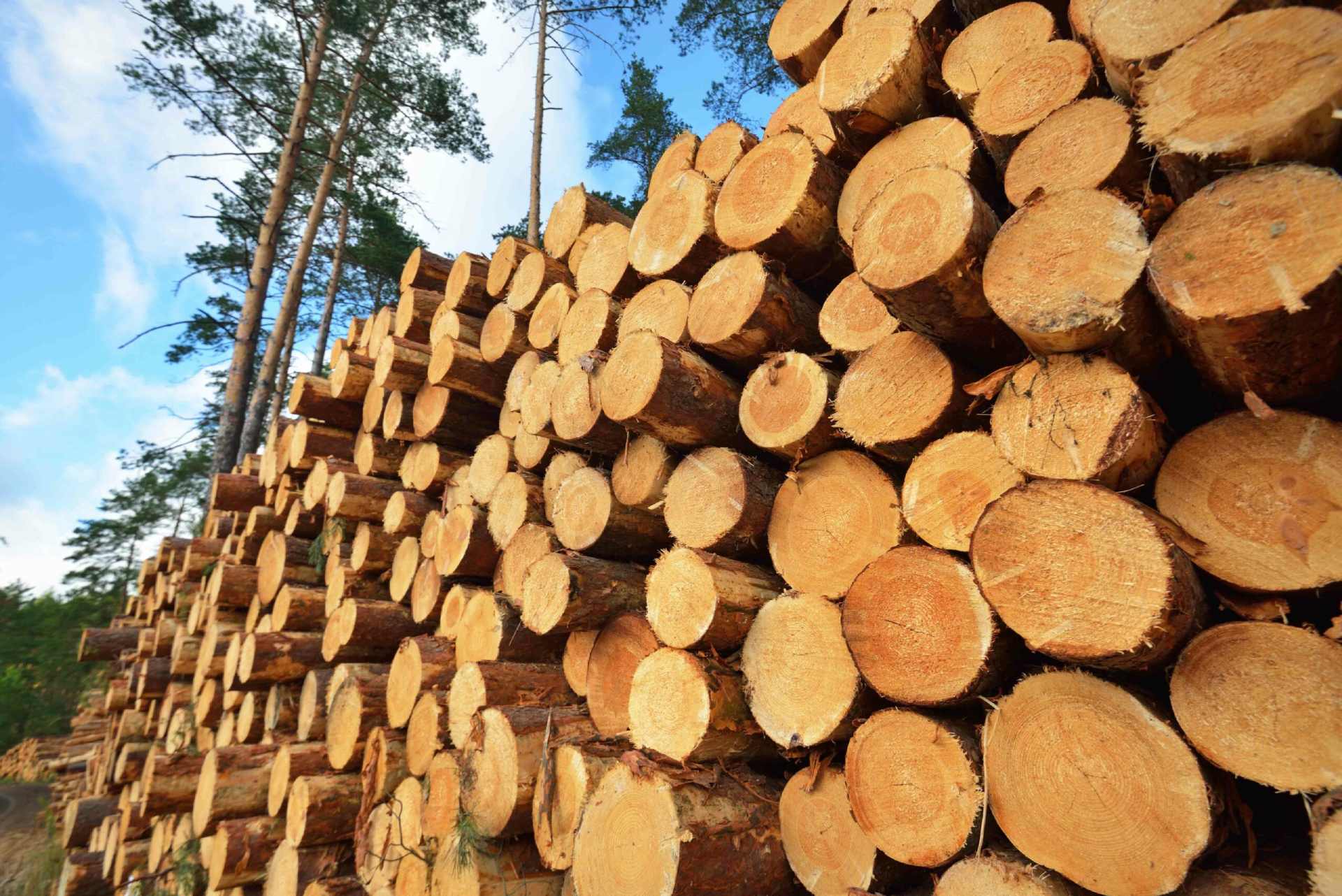
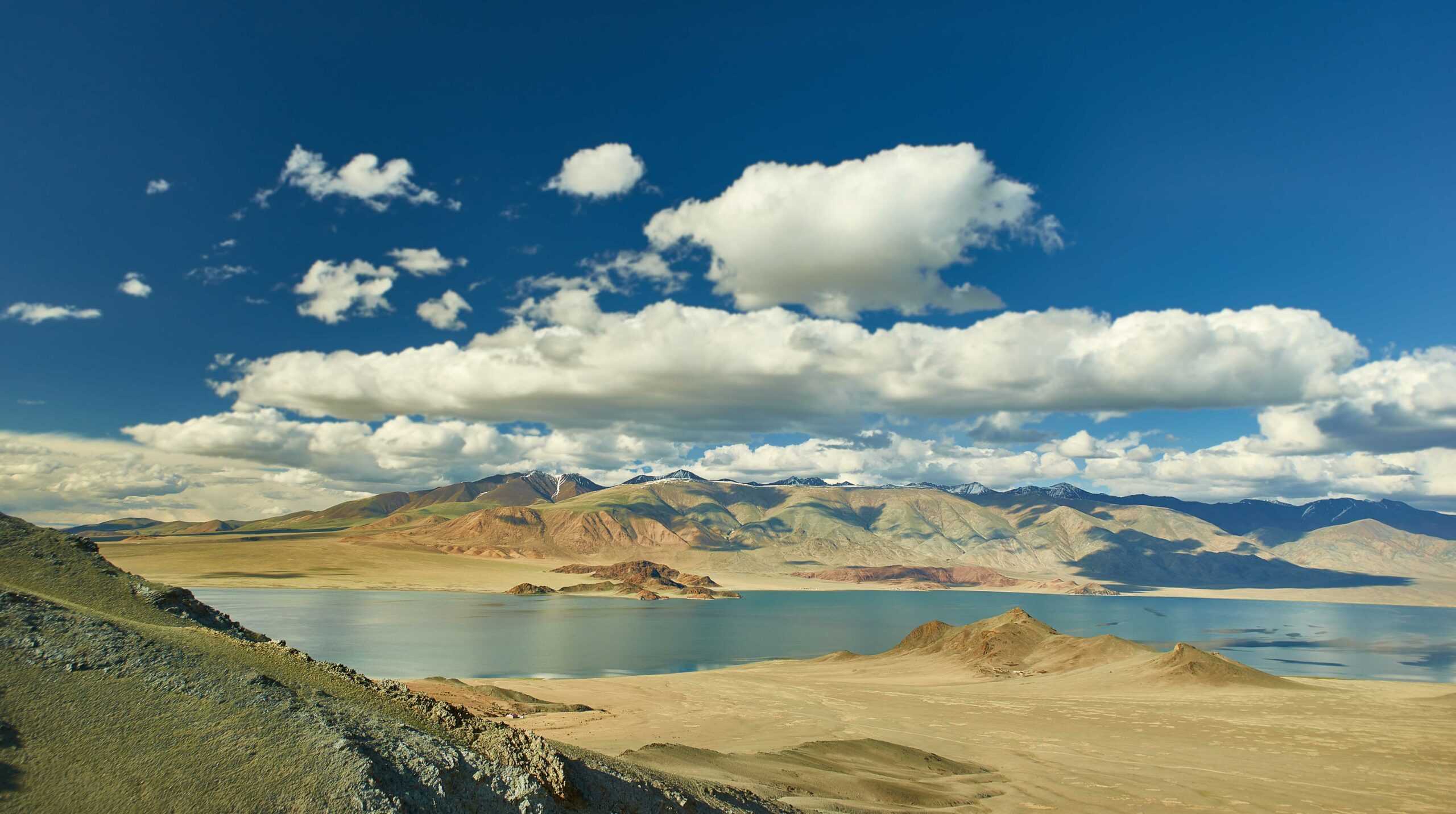
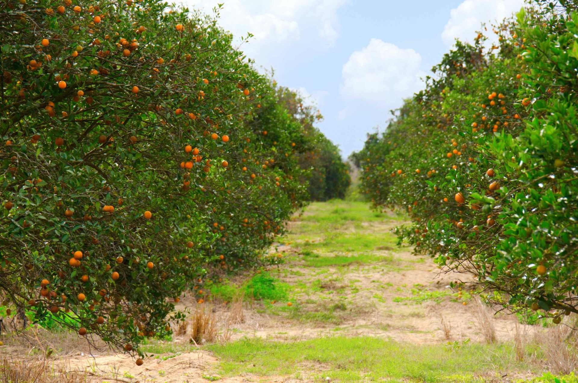
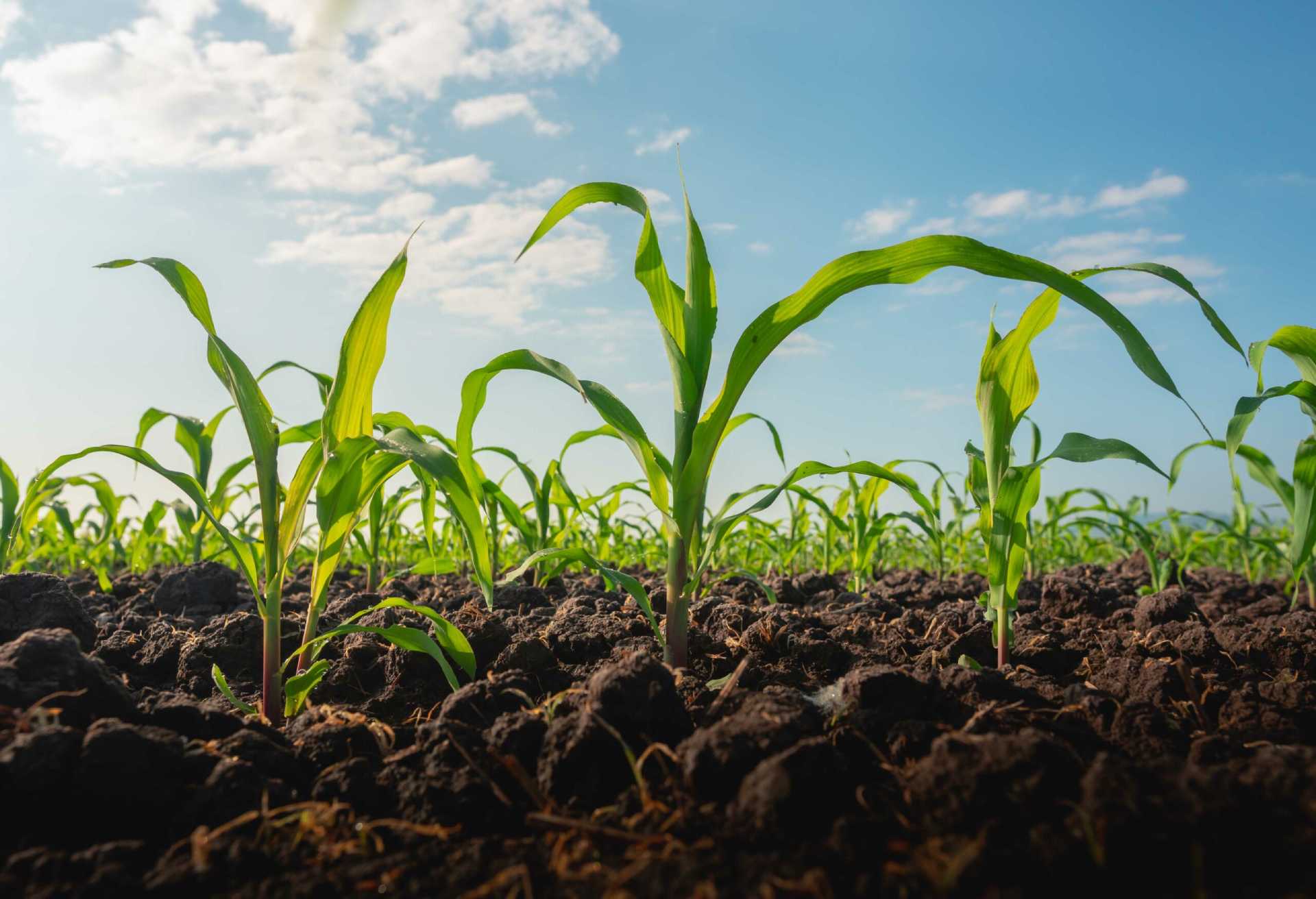
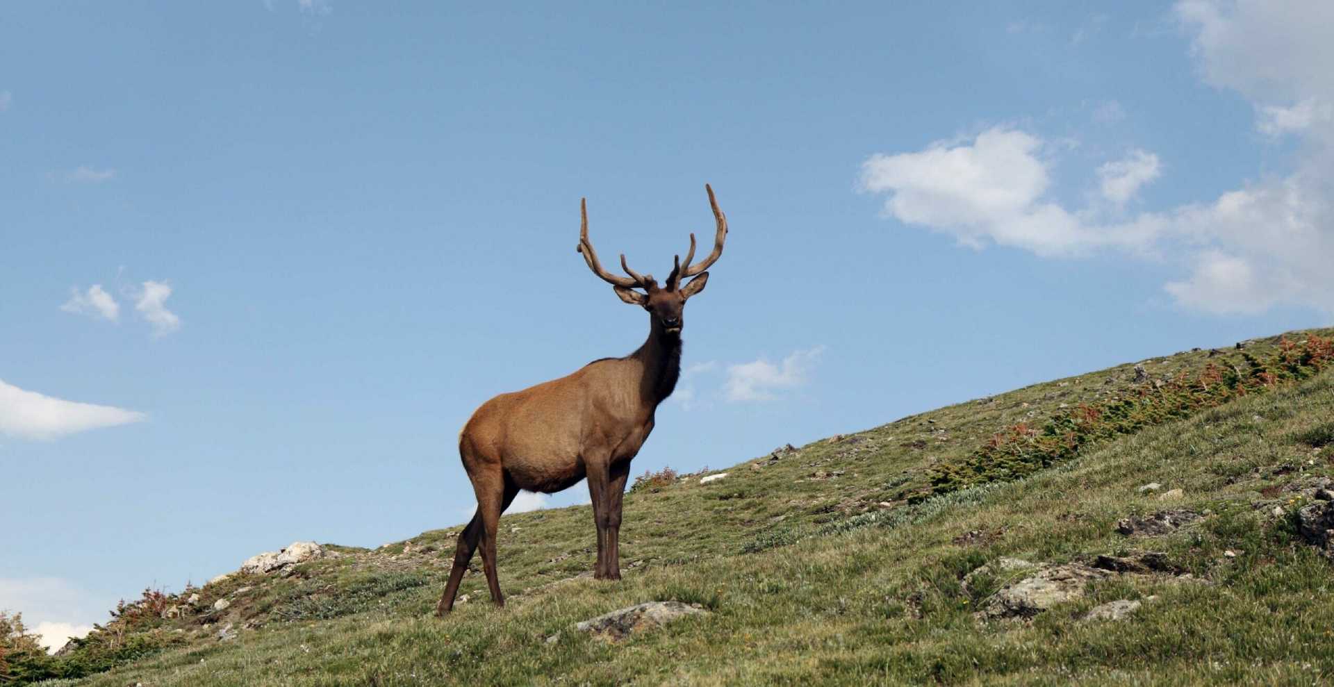
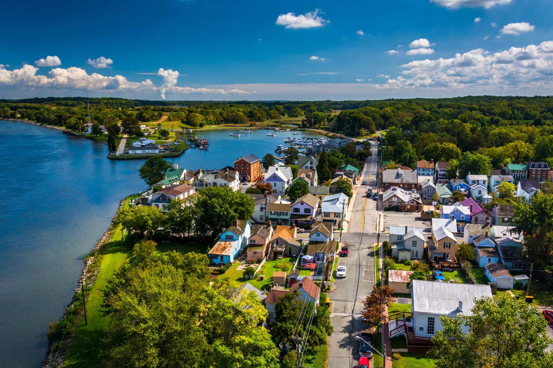
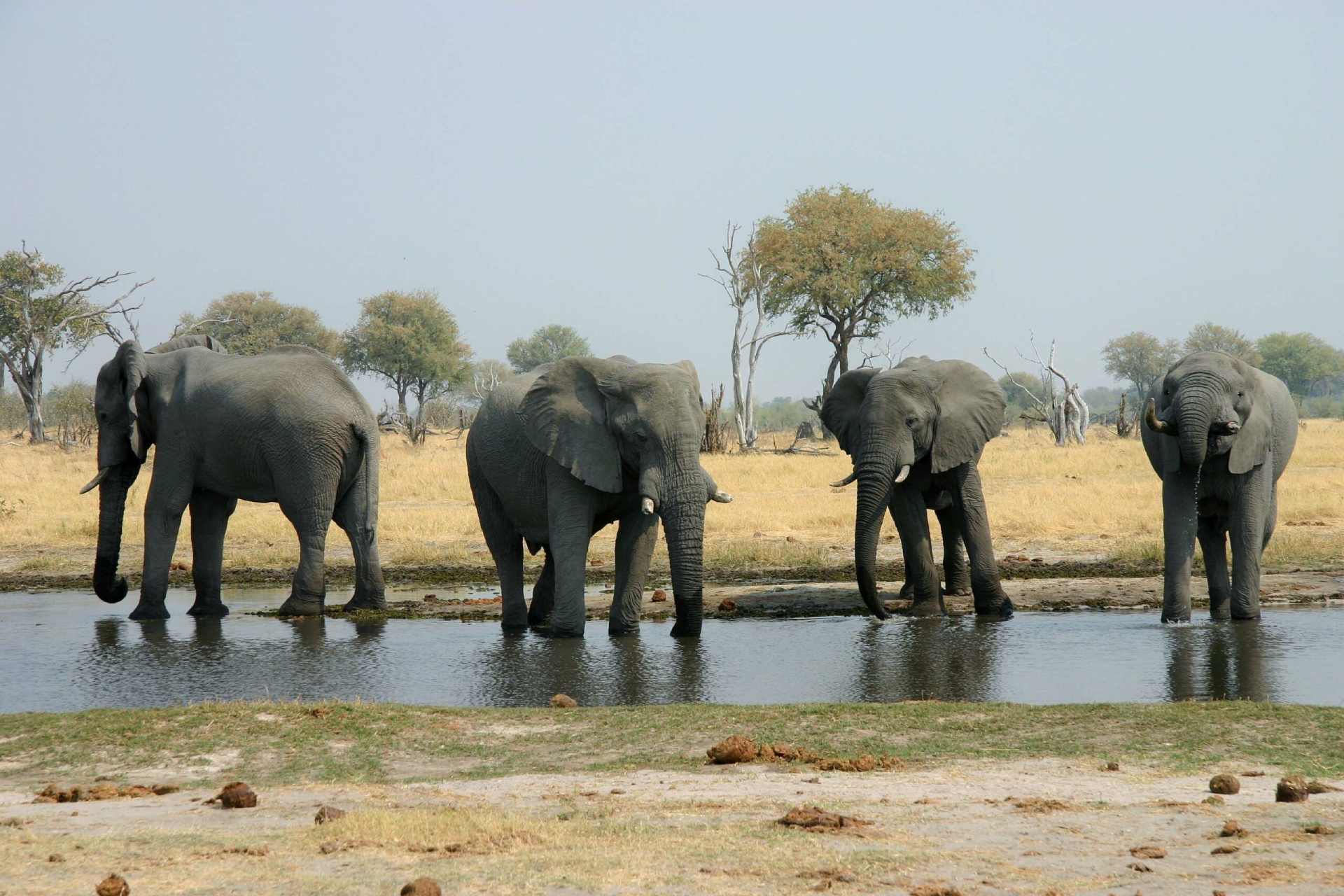
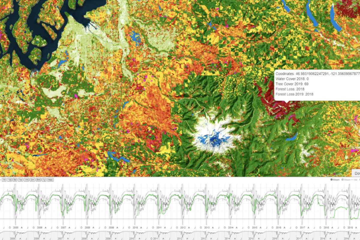
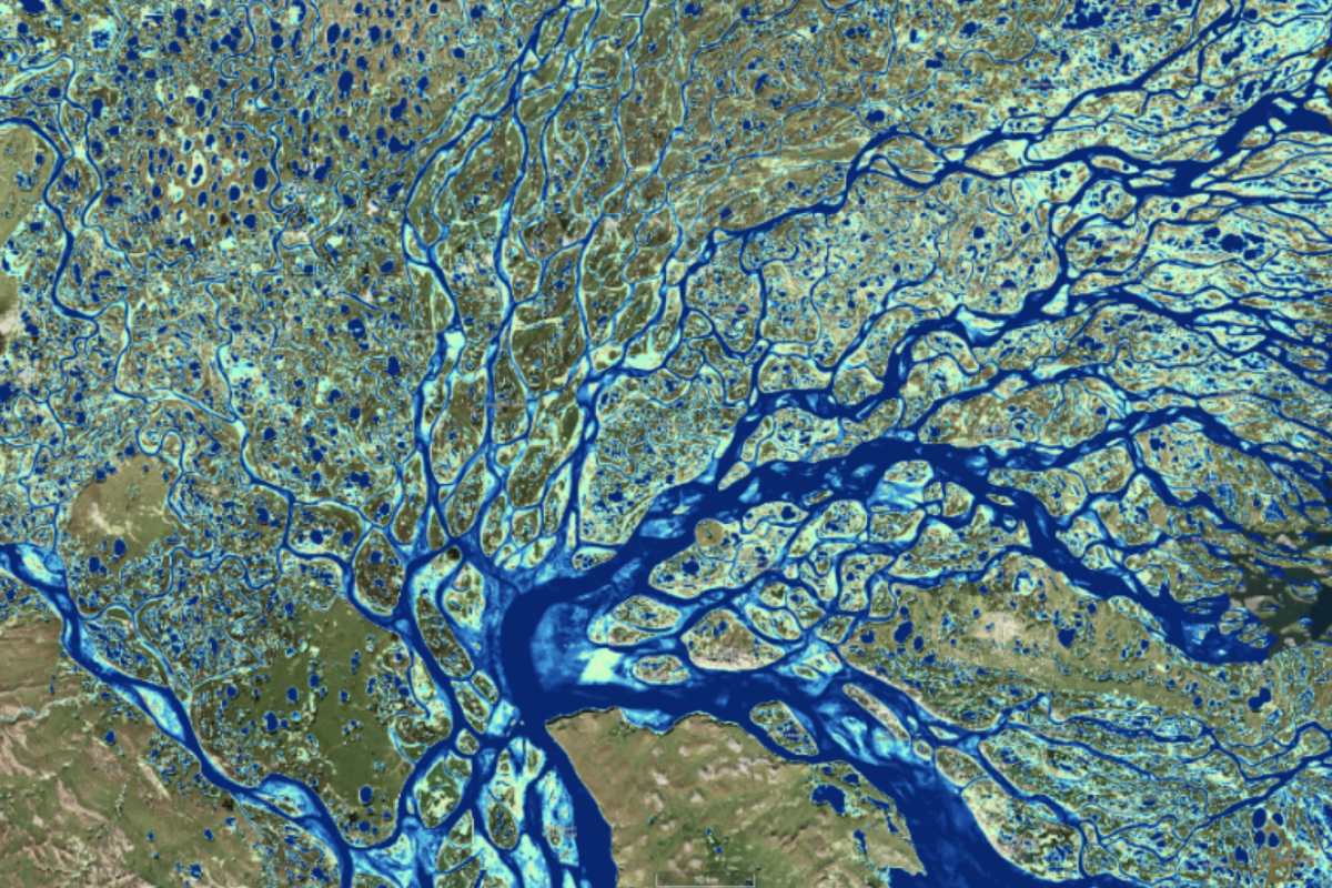
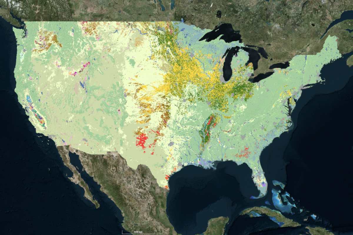
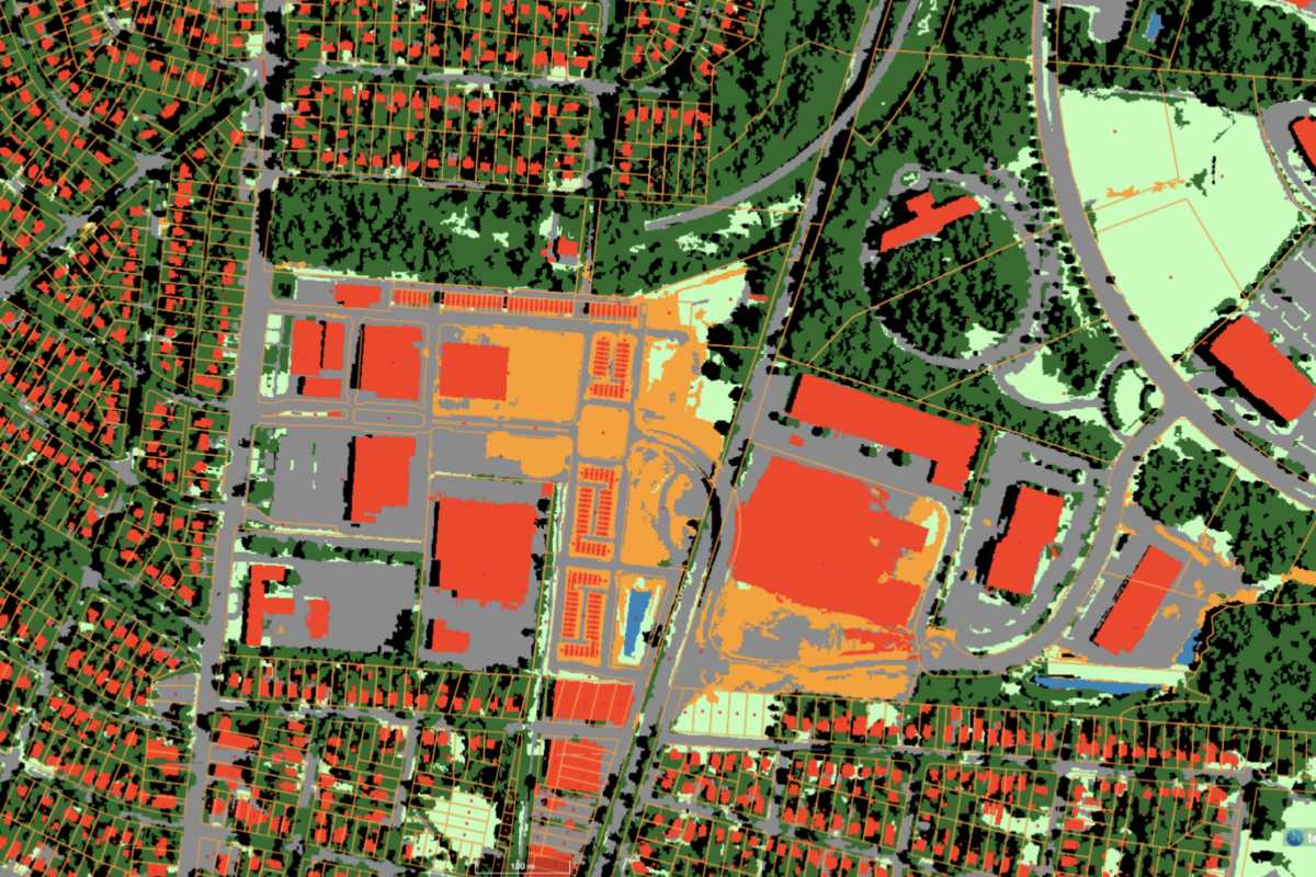
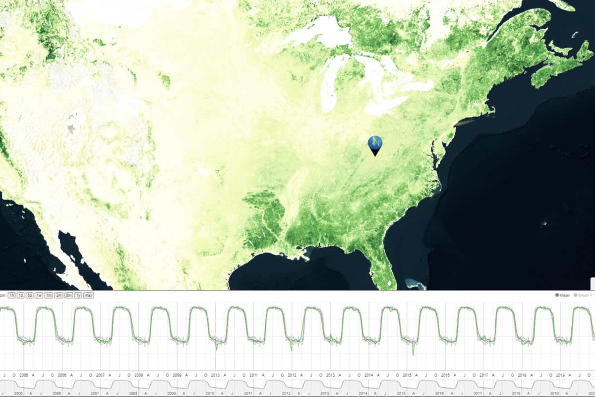
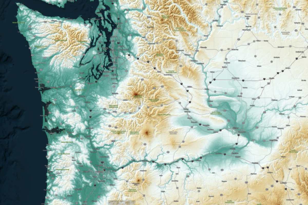
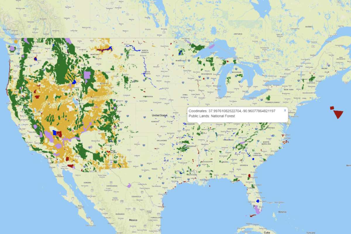
We map and monitor the status, history, and potential of large landscapes through satellite-based measurements of forest-, crop-, range-, and wildland productivity, and we provide the resulting information through simple, efficient interfaces tailored to specific market and industry applications. Our algorithms apply decades of expertise in geospatial intelligence, machine learning, and satellite image analysis to streamline the provision of actionable, real-time data to clients in the public and private sectors.